Geospatial Surveying & Drone Technology
Sefcom Environmental Consulting (SEC) delivers advanced Geographical Information Systems (GIS), remote sensing, and drone-based survey solutions that transform spatial data into actionable environmental intelligence.
We integrate high-resolution aerial data, geospatial analytics, and 3D modelling to support planning, permitting, operational optimisation, compliance monitoring, and infrastructure development. Our GIS and drone capabilities span the full project lifecycle, from baseline assessments and feasibility through construction, monitoring, and closure.
SEC combines spatial science, environmental expertise, and digital analytics to produce defensible, decision-ready geospatial outputs for mining, infrastructure, energy, water, and environmental projects.
Core GIS & Drone Capabilities:
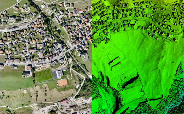
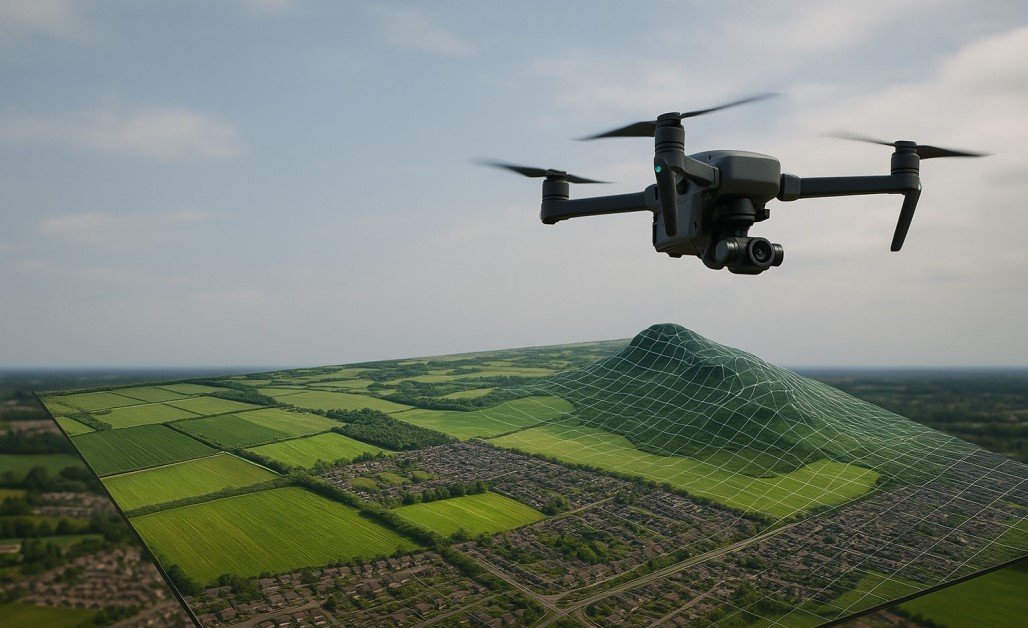
- Remotely Piloted Aircraft Systems (RPAS) aerial photography and orthomosaics
- LiDAR data acquisition and terrain modelling
- Hyperspectral and multispectral remote sensing
- Vegetation indices and environmental condition monitoring
- Land cover classification and change detection
- GIS mapping and spatial data integration
- Site selection and constraint analysis
- Sensitivity mapping and environmental screening
- Visual Impact Assessments (VIA)
- Topographic assessments and terrain modelling
- Volumetric calculations and reporting
- Cut-and-fill balance assessments
- 3D scenario modelling and digital terrain simulations
- Bathymetric surveys and reservoir mapping
- Spatial data management and database architecture
- Interactive map dashboards and decision-support tools
- Web GIS platforms and cloud-based spatial applications
- Integrated geospatial compliance and monitoring systems
Remote Sensing & Aerial Survey
Spatial Analysis & Mapping
Engineering & Quantitative Analysis
Digital Spatial Systems
Contact Us
- +27 71 723 4937
- +233 24 514 2414
- 28 Lemoendoring Street, Weltevredenpark, 1709, Johannesburg, South Africa
- 35 HFC Estate, Community 25, Tema, Ghana