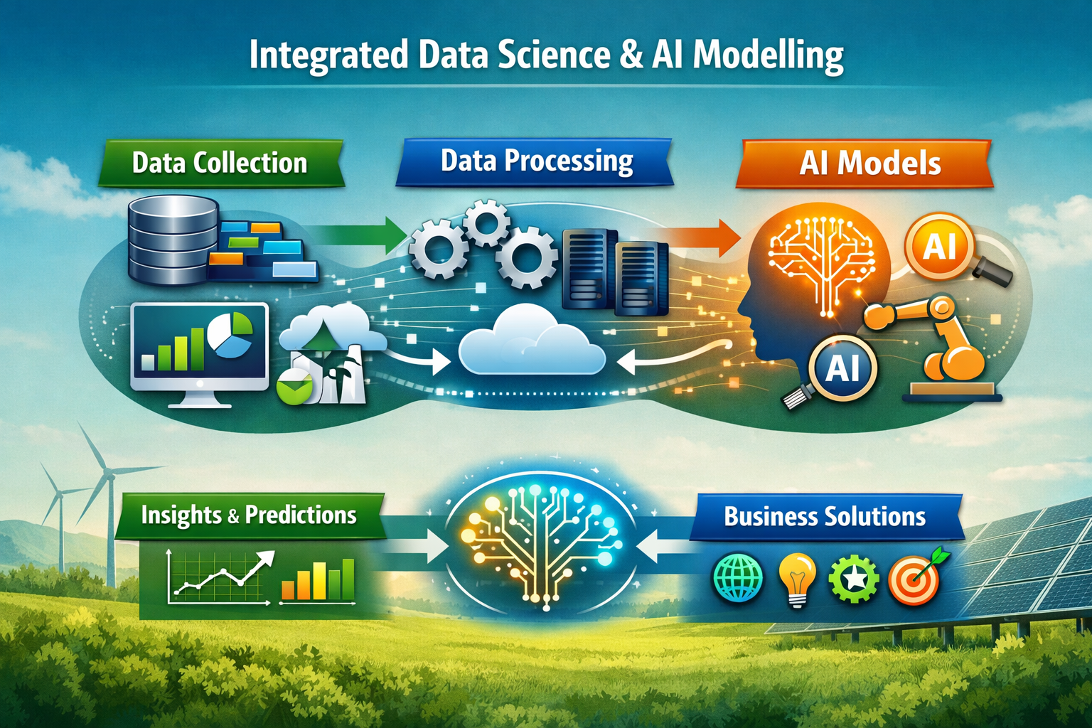
Integrated Data Science and AI Modelling
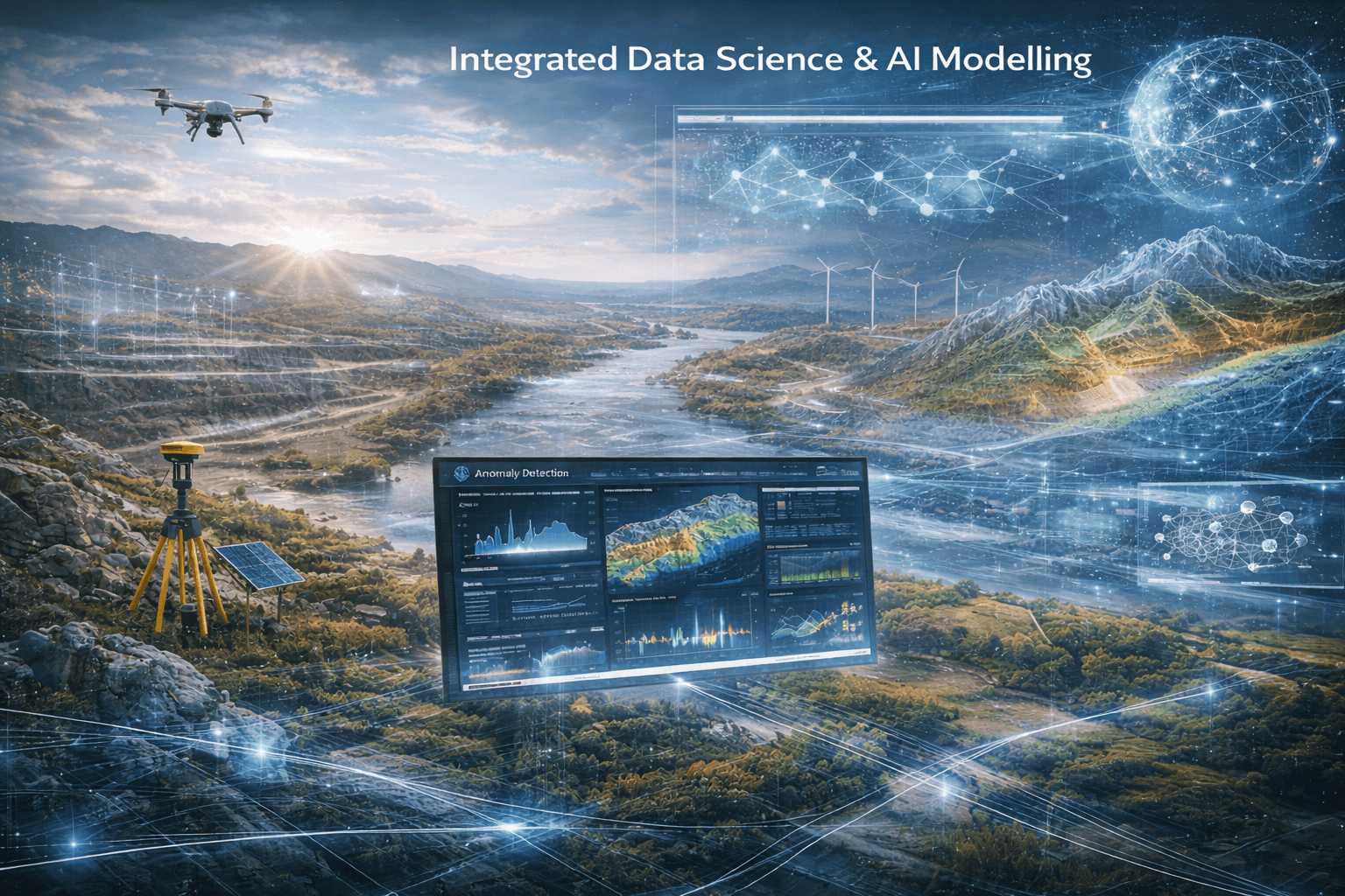
Sefcom Environmental Consulting (SEC) delivers advanced data science, applied scientific computing, machine learning, and artificial intelligence solutions embedded across our environmental, water, mining, energy, infrastructure, and geospatial services.
Our capability is built on strong foundations in physical measurement systems, computational science, and environmental domain expertise, enabling us to transform complex, noisy, and disparate datasets into predictive, regulator-ready intelligence.
We integrate sensor systems, geospatial analytics, applied statistics, and scalable software engineering to solve high-impact environmental and resource-sector challenges.
Core Technical Capabilities:
- Design and integration of physical measurement systems (optical, electromagnetic, radiometric, gravity-based)
- Environmental sensor deployment and data acquisition systems
- Processing of complex, noisy, and multi-source physical datasets
- Multivariate analysis and time-series forecasting
- Physics-informed environmental modelling
- Geospatial analysis and spatial data integration
- Statistical compliance and trend evaluation
- Predictive modelling for hydrological, hydrogeological, geochemical, and geotechnical systems
- Anomaly detection and early-warning systems
- Geospatial ML and geostatistical modelling
- Mineral exploration analytics under sparse-data conditions
- Image processing and computer vision for drone and remote sensing data
- Python-based scientific computing and modelling workflows
- SQL and non-relational database systems
- Cloud computing and distributed processing
- CI/CD pipelines, automated testing, and collaborative software development (Git)
- Interactive dashboards and automated reporting platforms
- Hydrology & Hydrogeology- predictive groundwater and flood analytics
- Geochemistry- ARD/AMD forecasting and contaminant transport modelling
- Geotechnical- stability modelling and performance prediction
- GIS & Drone Survey- automated spatial analysis and change detection
- Energy & Infrastructure- climate risk and asset optimisation modelling
- Environmental Assessment- compliance automation and risk quantification
Scientific Data Acquisition & Systems Integration
Advanced Analytics & Applied Statistics
Machine Learning & Predictive Modelling
Scalable Digital & Cloud Architecture
Integrated Application Across SEC Services
Our AI and modelling capability strengthen:
Contact Us
- +27 71 723 4937
- +233 24 514 2414
- 28 Lemoendoring Street, Weltevredenpark, 1709, Johannesburg, South Africa
- 35 HFC Estate, Community 25, Tema, Ghana